Topographical Surveys
Our topographical surveys provide a comprehensive and accurate representation of the existing environment, capturing natural and man-made features including ground levels, buildings, boundaries, utilities, drainage features, vegetation, and infrastructure.
Using the latest Trimble surveying technology, we collect precise spatial data that forms the foundation for planning applications, architectural design, engineering design, construction works, and ongoing site management.
Survey data is processed using specialist software and delivered in industry-standard formats, including DWG, DXF, PDF, LandXML, and point cloud datasets, ensuring seamless integration with your existing workflows.
Find Out More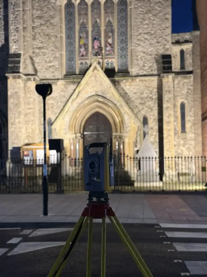
Big or small
Whether you are planning a residential extension, commercial development, infrastructure project, or land acquisition, our surveys provide reliable information that reduces risk, prevents costly design errors, and supports informed decision-making throughout the project lifecycle.
No two sites are the same
Our experienced surveyors adapt their approach to suit the unique requirements and challenges of each project, delivering dependable survey information on time and with the accuracy your project demands.
Area We Cover
Based in Norfolk, ACP Land Surveys provides surveying services throughout:
- Norfolk
- Suffolk
- Cambridgeshire
- Essex
- East Anglia
- Nationwide
Request a Quotation
Whether you require a topographical survey, measured building survey, laser scan or drone inspection, we would be delighted to discuss your project.
Get in touch today for a free, no-obligation quotation.