Drone Surveys & Aerial Inspection
Aerial mapping and inspections for roofs, fields and hard-to-reach sites
Request a QuoteDrone Surveys & Aerial Inspection
Our drone survey and aerial inspection services provide a safe, efficient, and cost-effective method of collecting high-quality survey data, particularly in locations that are difficult, hazardous, or impractical to access using traditional surveying methods.
Using LiDAR-equipped UAV technology, we can accurately capture ground levels beneath dense vegetation and woodland canopies, providing valuable information where conventional survey methods may be restricted.
All flights are conducted in accordance with current aviation regulations, ensuring safe and professional operations while delivering accurate and actionable survey data.
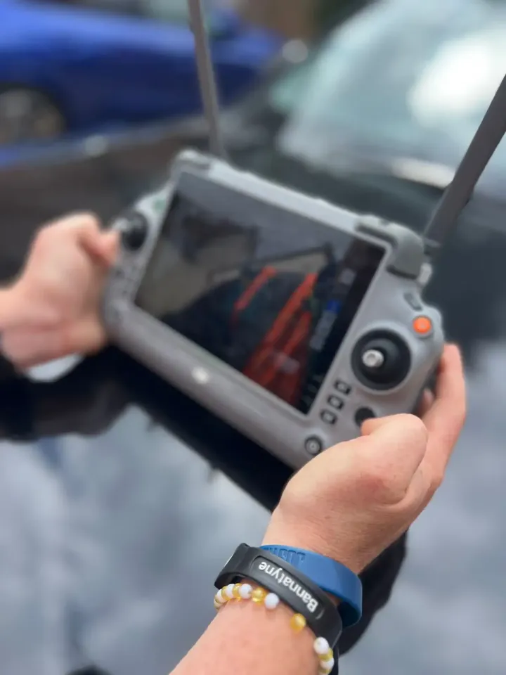
A Range Of Outputs
Using advanced UAV technology, we capture high-resolution imagery, video, and geospatial data that can be processed into a range of valuable outputs, including:
- Orthophotography
- Topographical Survey Data
- 3D Terrain Models
- Digital Surface Models (DSM)
- Stockpile Volumetric Calculations
- Progress Monitoring Reports
- Roof Inspection Reports
- Asset Inspection Imagery
Use Cases
Drone surveying is particularly effective for:
- Large Development Sites
- Quarries and Mineral Extraction Sites
- Infrastructure Projects
- Agricultural Land
- Woodland Surveys
- Solar Farms
- Roof and Façade Inspections
Area We Cover
Based in Norfolk, ACP Land Surveys provides surveying services throughout:
- Norfolk
- Suffolk
- Cambridgeshire
- Essex
- East Anglia
- Nationwide
Request a Quotation
Whether you require a topographical survey, measured building survey, laser scan or drone inspection, we would be delighted to discuss your project.
Get in touch today for a free, no-obligation quotation.