ACP Land Surveys
Land, building and drone surveys from Norfolk, across the UK
At ACP Land Surveys, we bridge traditional engineering expertise with advanced geospatial technology, delivering accurate, dependable survey data that forms the foundation of successful projects.
Request a QuoteTwo Decades of Surveying Expertise, Delivered with Certainty
Founded on over two decades of hands-on experience within the construction industry, ACP Land Surveys provides surveying solutions tailored to meet the rigorous demands of developers, architects, contractors, and private clients.
We understand that in construction, time is one of the most valuable resources. Delays can impact programmes, increase costs, and place unnecessary pressure on projects.
Unlike larger firms that often manage numerous projects simultaneously, ACP Land Surveys operates with a client-first philosophy. By maintaining a focused approach and dedicating our resources to each project, we ensure your requirements remain our priority.
Our commitment is simple: we agree on a delivery date, and we deliver on it — without compromising on quality, accuracy, or attention to detail.
Comprehensive Surveying Solutions
Our suite of services utilises the latest in digital capture technology to provide a detailed, "real-world" blueprint of your site
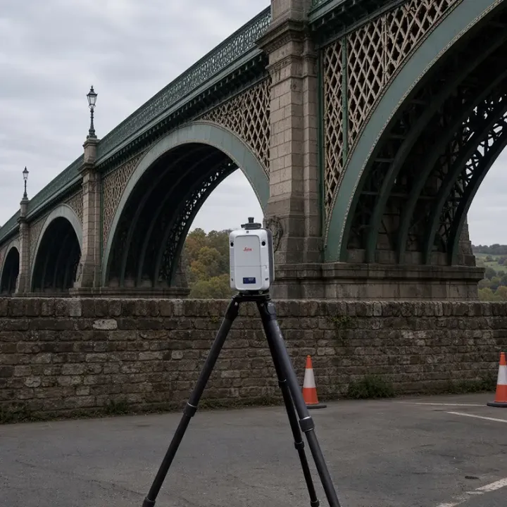
How We Can Help
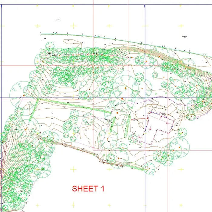
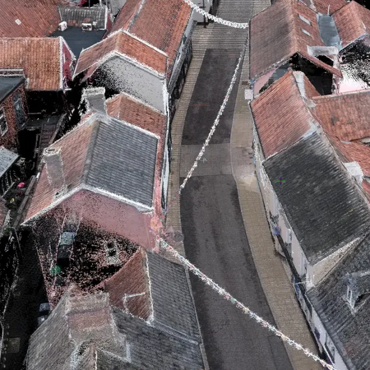
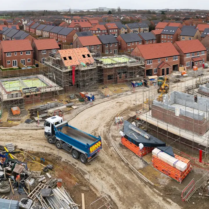
Topographical Surveys & Laser Scanning
Capture existing site conditions with exceptional accuracy, providing a detailed foundation for planning, design, and construction.
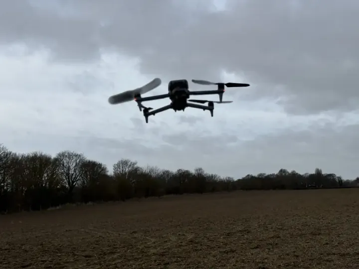
Drone Surveys & Aerial Inspections
Obtain high-resolution aerial imagery and survey data quickly, safely, and efficiently, including access to difficult-to-reach locations.
Measured Building Surveys (MBS)
Accurate floor plans, elevations, sections, and internal layouts to support refurbishment, extension, retrofit, and redevelopment projects
Matterport Virtual Tours
Immersive 3D digital walk-throughs that enable remote site inspections, asset management, and enhanced project collaboration
Orthographic Projections
Generate photorealistic, dimensionally accurate elevations and façade drawings directly from survey data.
Site Setting Out
Transfer design information from CAD drawings to site with precision, ensuring construction is delivered exactly as intended.
As-Built Surveys
Verification surveys to confirm completed works accurately reflect design information.
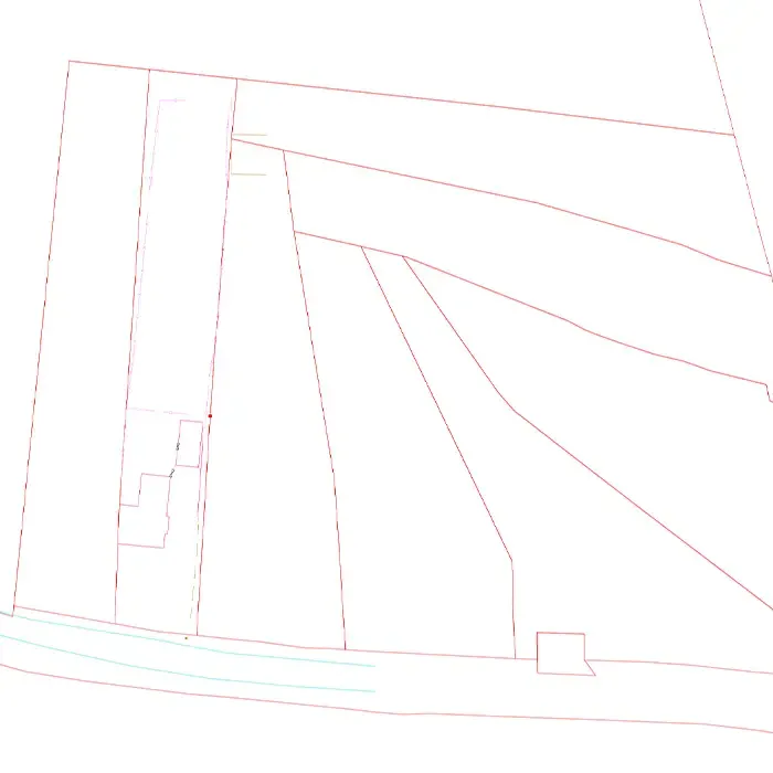
Boundary Surveys
Accurately plot and analyse property boundaries using survey-grade equipment, Land Registry data, title plans, and historical mapping records.
Industry Leading Technology
We invest in modern surveying equipment to ensure accuracy, efficiency and reliability.
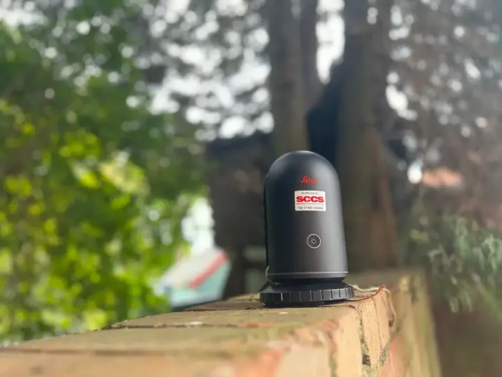
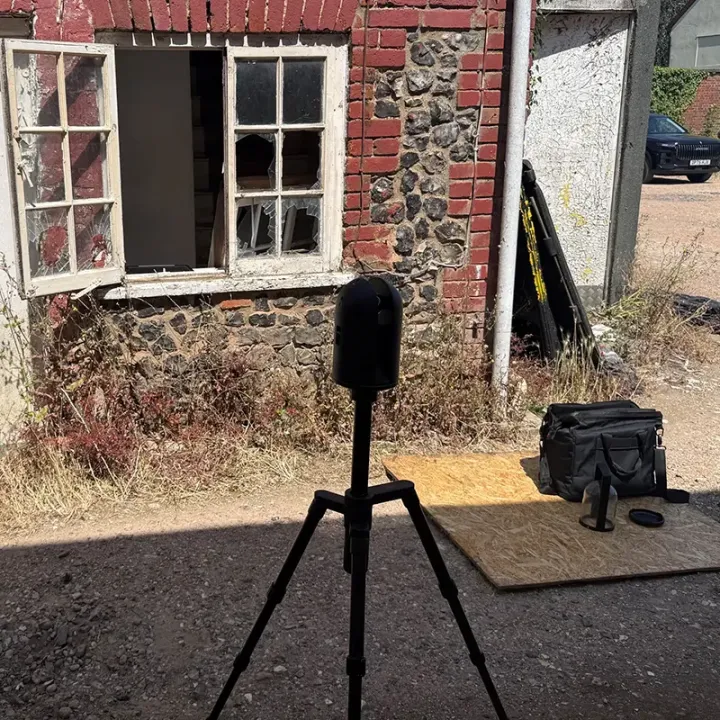
Leica BLK360 Laser Scanner
Capturing millions of survey points to create accurate point clouds and 3D models.
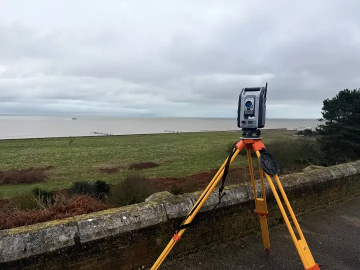
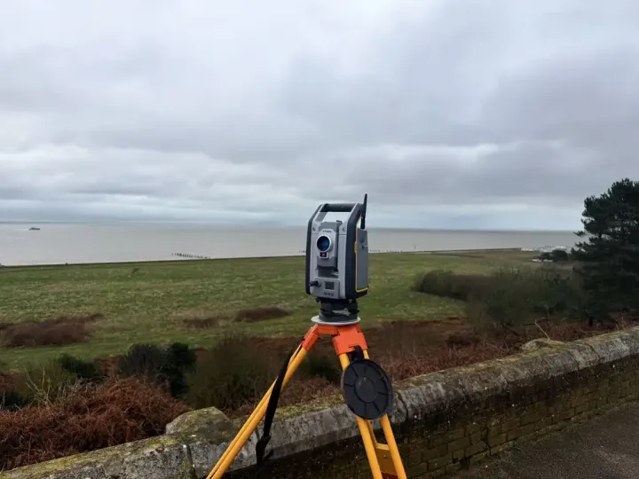
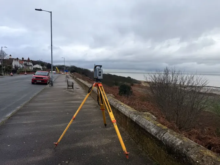
Trimble S7 Total Station
Robotic total station for control, levels and detail.
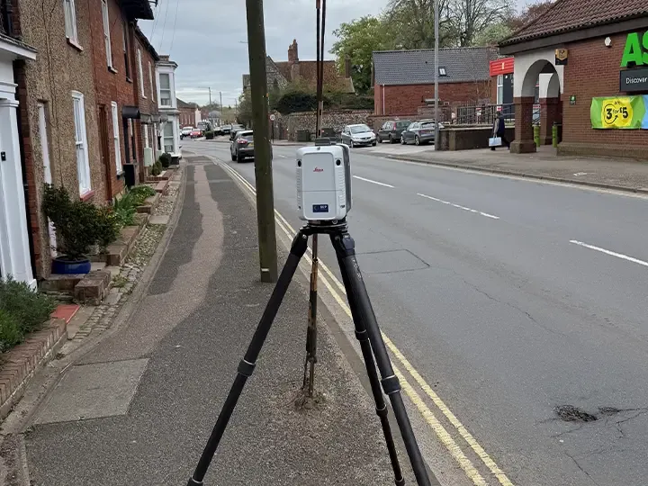
Leica RTC 360
Detailed measurement of buildings, structures and complex site features.
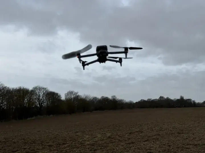
Matrice 4 Drone
Aerial data capture for mapping, inspection and monitoring applications.
What Clients Say
Area We Cover
Based in Norfolk, ACP Land Surveys provides surveying services throughout:
- Norfolk
- Suffolk
- Cambridgeshire
- Essex
- East Anglia
- Nationwide
Request a Quotation
Whether you require a topographical survey, measured building survey, laser scan or drone inspection, we would be delighted to discuss your project.
Get in touch today for a free, no-obligation quotation.