Laser Scanning
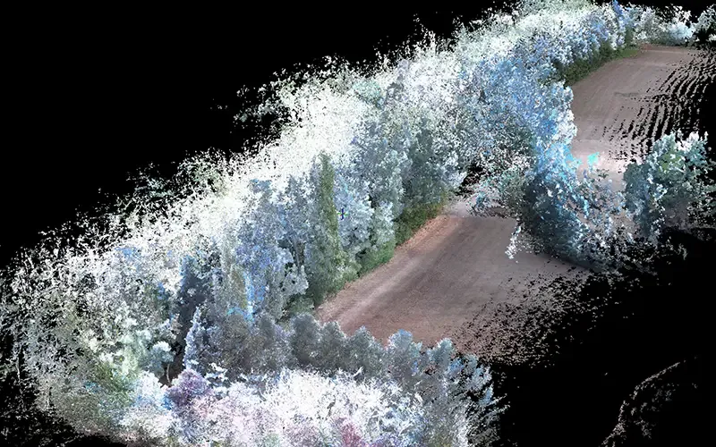
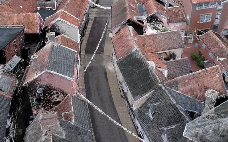
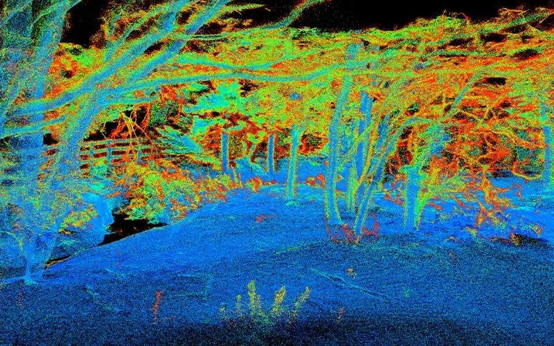
Laser scanning provides a fast, safe, and highly accurate method of recording existing environments. Using advanced terrestrial laser scanners, we capture millions of survey points every second, creating a highly detailed digital representation of your site known as a point cloud.
This technology is ideal for complex buildings, industrial facilities, heritage assets, infrastructure projects, and hazardous or inaccessible environments where traditional survey methods may be impractical.
From busy highways and rail corridors to historic buildings and large commercial premises, laser scanning enables us to record every visible detail with exceptional precision.
Find Out More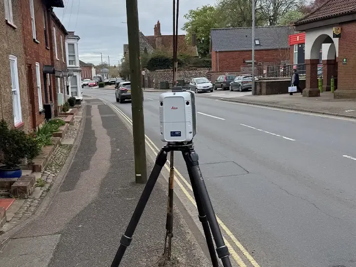
Wide Reaching Uses
The resulting data can be used to produce:
- Measured building surveys
- Topographical surveys
- Floor plans, elevations and sections
- Orthographic elevations
- 3D BIM models
- Digital twins
- Clash detection and design coordination models
Highly Reusable Data
Because the entire environment is digitally captured, project teams can revisit the site virtually at any time, significantly reducing the need for return visits and providing a valuable record for future use.
The result is a highly accurate, future-proof dataset that improves project efficiency, enhances collaboration, and supports better design decisions.
Area We Cover
Based in Norfolk, ACP Land Surveys provides surveying services throughout:
- Norfolk
- Suffolk
- Cambridgeshire
- Essex
- East Anglia
- Nationwide
Request a Quotation
Whether you require a topographical survey, measured building survey, laser scan or drone inspection, we would be delighted to discuss your project.
Get in touch today for a free, no-obligation quotation.