Grade I friary: orthographic elevations and a measured survey
A Grade I friary, recorded before and after it was scaffolded
Six orthographic elevations from a drone flight, then a return visit with the Trimble X9 once the building had been made safe.
Request a QuoteThe brief
We were asked to record a Grade I listed friary. Age had taken much of it. The first instruction was for orthographic projections of the main building, and of two faces of a rear wall that was no longer attached to it.
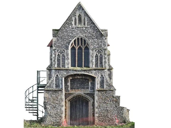
The friary stands next to a school. The visit fell in the holidays, which kept the site quieter. We flew nadir and oblique imagery of the building, then processed it in RealityCapture. The orthographic projections were taken from that model. They were finished in GIMP: floating fragments removed, and blur and blemishes cleaned so the elevation could be measured. Six orthographic elevations were issued.
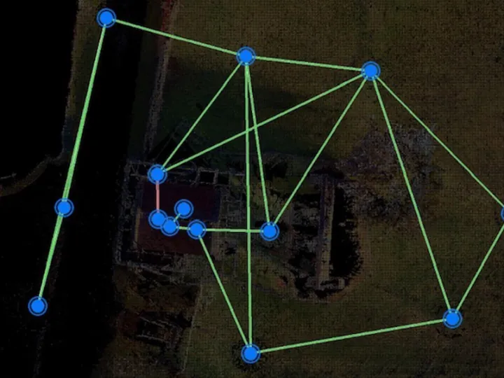
From flight to elevation
The return visit
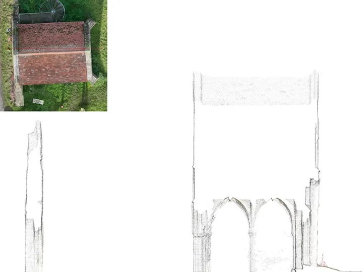
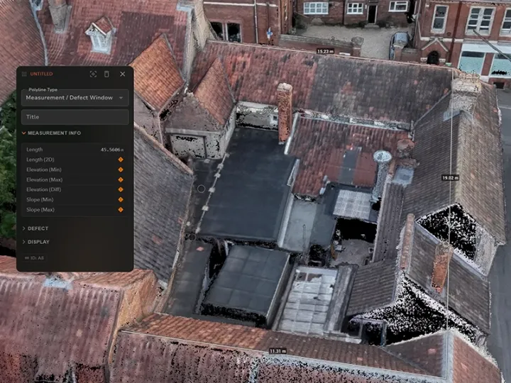
A few months later we were asked back. Further investigation had shown the building was at risk of collapse. It had been made safe with scaffolding, and we were instructed to scan the interior and produce internal elevations. The Trimble X9 was used for that visit. Ornate concrete carvings, old beams and a large coloured-glass window were drawn in detail.
Both stages were turned around quickly. The client noted the way the site was handled, and how quickly we attended the second visit.
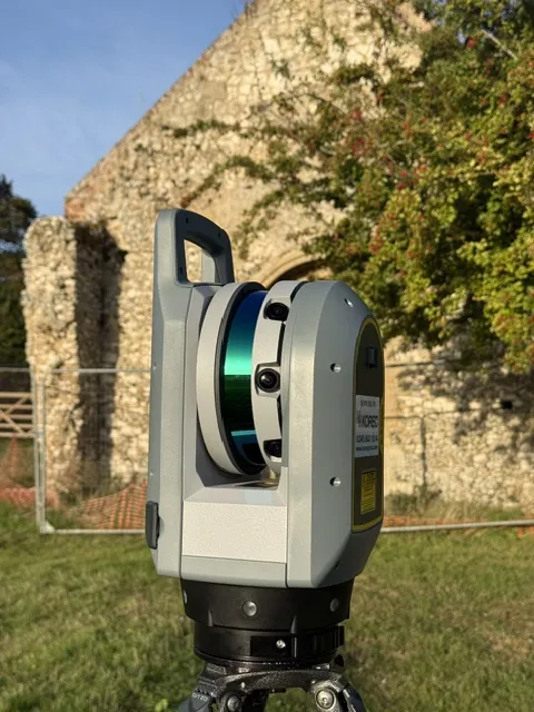
On site with the Trimble X9
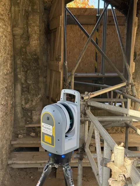
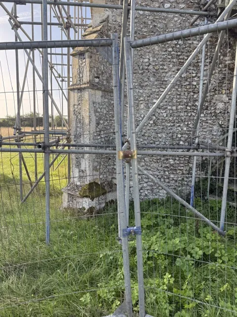
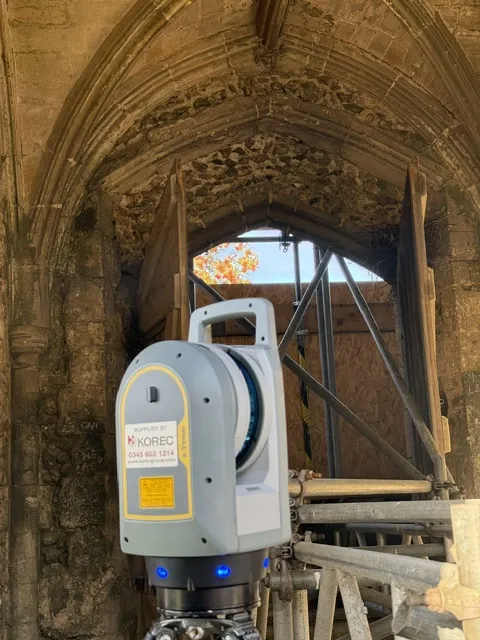
What was delivered
Six orthographic elevations of the friary and the detached rear wall
Internal elevations, including carvings, beams and the glass window
Point cloud and sections from the X9 scan
DWG and PDF
Request a Quotation
Whether you require a topographical survey, measured building survey, laser scan or drone inspection, we would be delighted to discuss your project.
Get in touch today for a free, no-obligation quotation.