LiDAR survey of 3000 acres near London
3000 acres mapped in under a week
Agricultural land, woodland, roads and an industrial park, flown with the Matrice 400 and issued as a bare-earth model in less than seven days.
Request a QuoteThe brief
A client asked us to quote for about 3000 acres near London. The site was mixed: arable fields, land with livestock, roads, an industrial park, and woodland where broad ground levels were needed.
Before anyone flew, we looked at the land, the airspace and the risk of overflying roads and property. Risk assessments were written and the take-off and landing plan was reviewed. The aircraft chosen was the DJI Matrice 400 with the L3 LiDAR payload. The L3’s 16 returns were the reason. Most of the fields had been cropped, but the woodland still had to be penetrated so the ground beneath the canopy could be modelled.
The flying was completed in four days. The data was then processed into a bare-earth model, with the trees removed where the client needed the levels underneath. The survey was back with the client in less than seven days. On foot, the same area would have taken a team weeks.
What they noted was the speed, and that the levels were accurate enough to use.
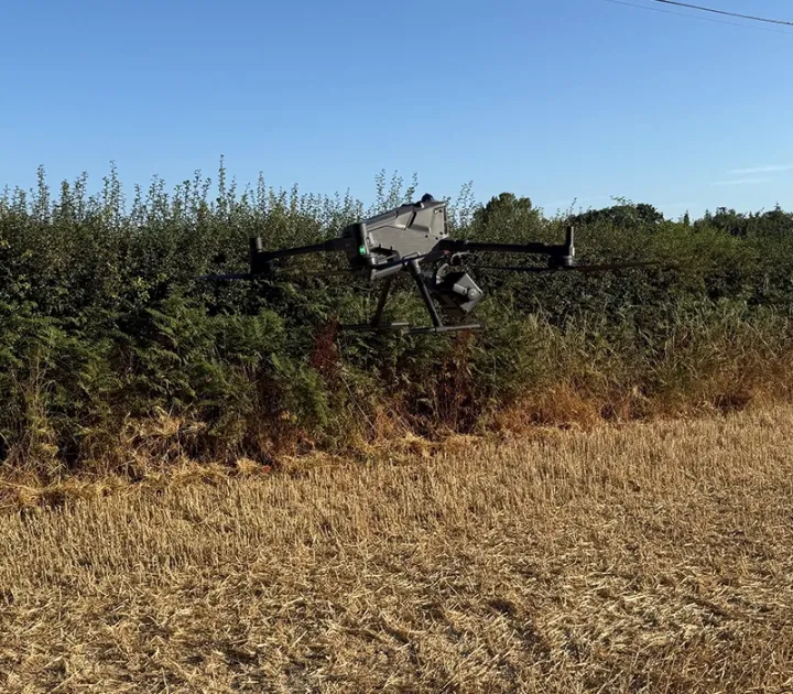
From canopy to ground
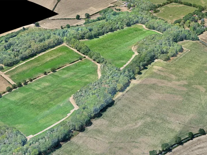
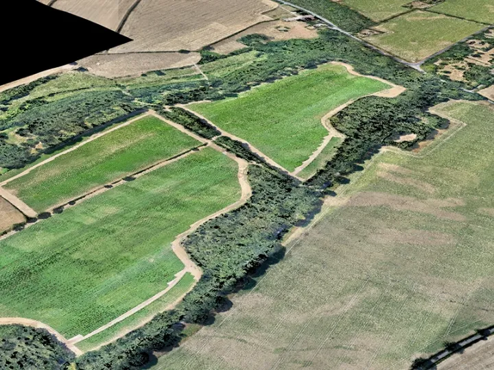
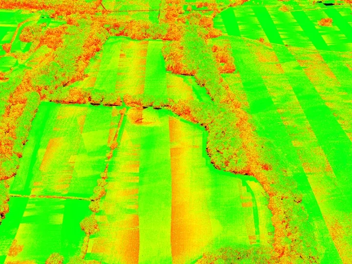
What was delivered
LiDAR point cloud
Bare-earth model, with trees removed in processing
Shaded surface of the survey
DWG and PDF as standard
Request a Quotation
Whether you require a topographical survey, measured building survey, laser scan or drone inspection, we would be delighted to discuss your project.
Get in touch today for a free, no-obligation quotation.